2016 White Mountain Presidential Range traverse

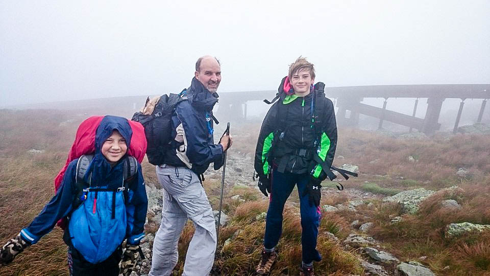
When I was a teenager, my parents frequently hiked with me in the White Mountains of New Hampshire. My favorite range to hike is the Presidentials. I haven’t been up the Presidentials in about 20 years, but this year I had the opportunity to do a Presidential traverse with my eldest son, Tim. Here is a synopsis of our trip.

DISCLAIMER: This article incorporates far more images than my typical article. Sorry. I tried to reduce it, but I just love mountain pictures!
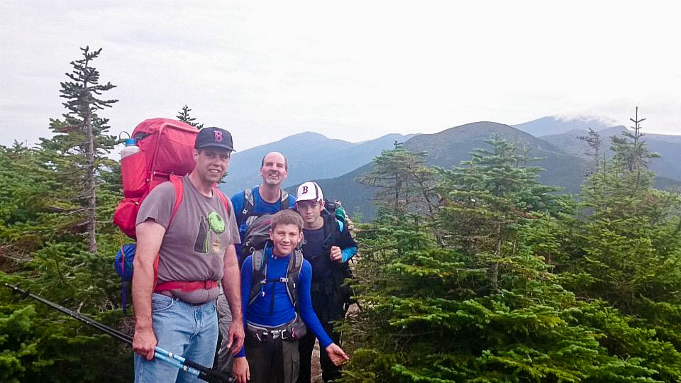
Cast of characters

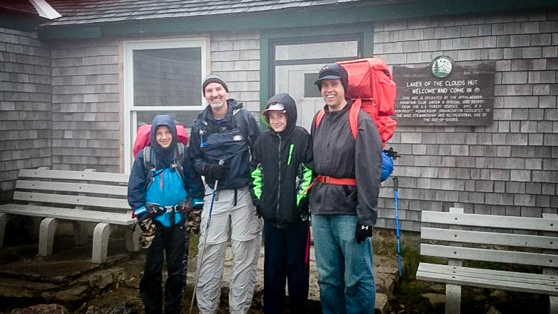
Tim (another one) and Stephen Arrowsmith, who are friends from church, accompanied us on the trip. Tim (who we call “Mr. Tim”) has been a good friend of mine for years, and Stephen has been friends with my son, Tim, since they were babies.

Day 1: Up from valley to Mizpah Springs Hut

We started our hike in Crawford Notch and hiked up the Crawford Path to Mizpah Spring Hut. This was a relatively easy 2.4 mile hike through the woods.

Up the Crawford Path to Mizpah Springs Hut
Up the Crawford Path to Mizpah Spring Hut


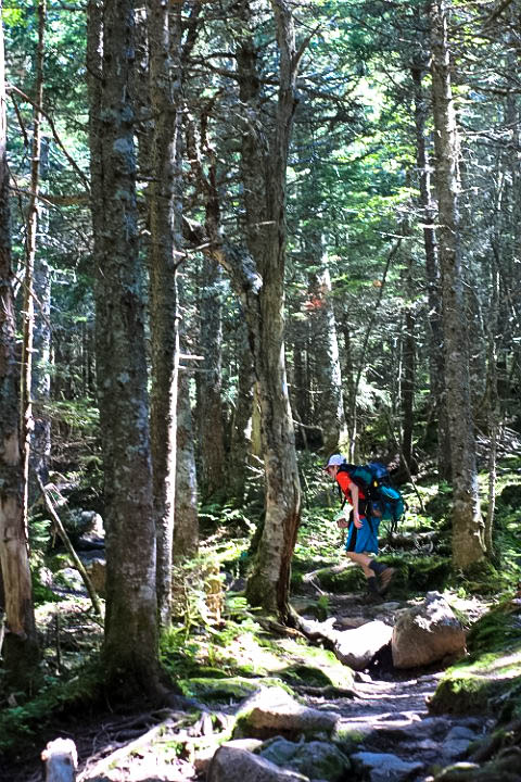
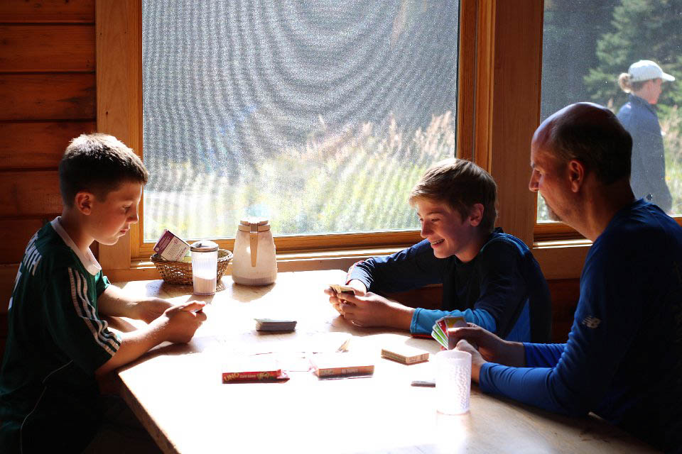
We left the parking lot at right around 10AM on Saturday, August 27, and arrived at Mizpah Spring Hut (on the side of Mt. Pierce) just before 12PM. We dropped our packs there and decided to hike 3.4 miles out to the summit of Mt. Jackson and back.


Tim at Mizpah Springs Hut.
Tim at Mizpah Spring Hut.
The southern peaks seen from Jackson. Mizpah Hut is in the lower-left of the image.
The southern peaks seen from Jackson. Mizpah Hut is in the lower-left of the image. The mountain at the far-right of the image is Mt. Washington.
IMG_2050
Tim climbing up the peak of Mt. Jackson.
Tim and Stephen Sitting on the peak of Jackson.
Once we got back to Mizpah, we had time to play cards for a bit before dinner at 6:00.
Tim and Stephen were fascinated with this "epic" Jenga game in Mizpah Hut.
Tim and Stephen were fascinated with this “epic” Jenga match in Mizpah Hut.

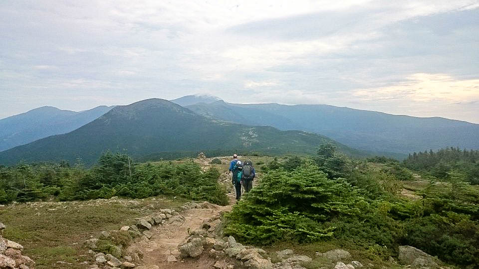
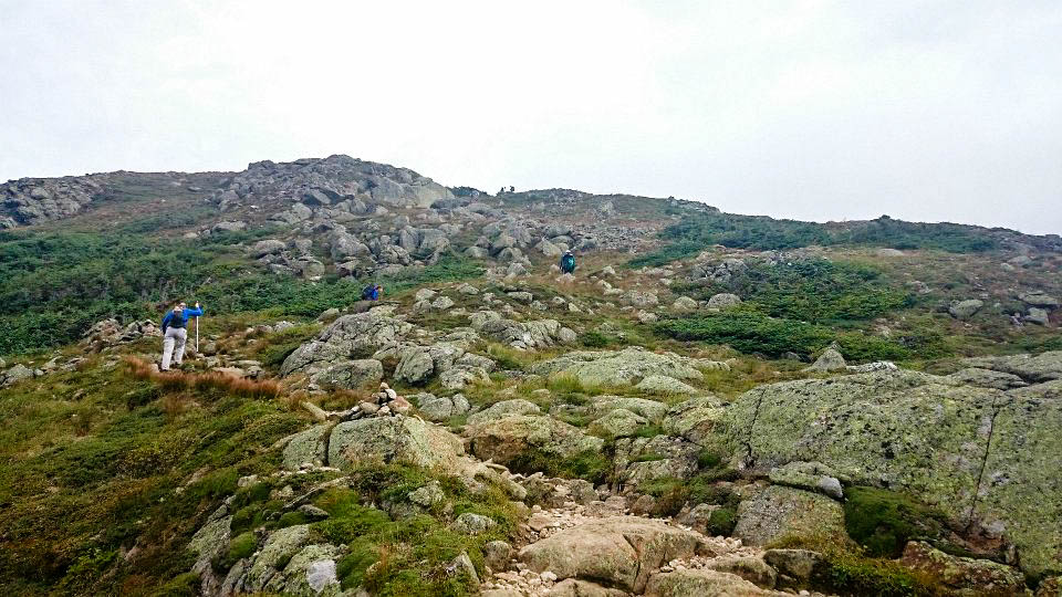
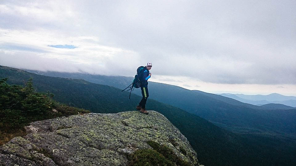
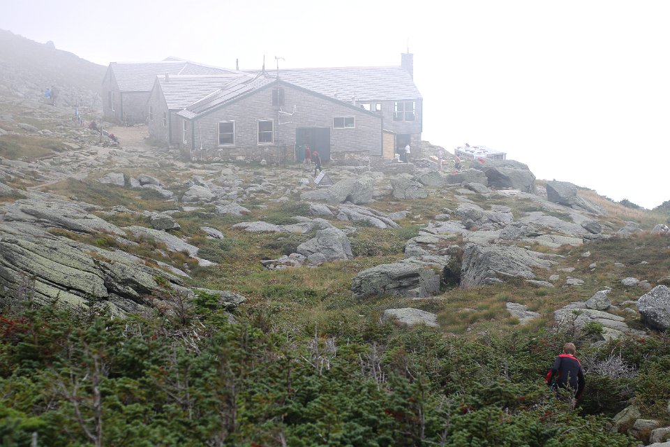
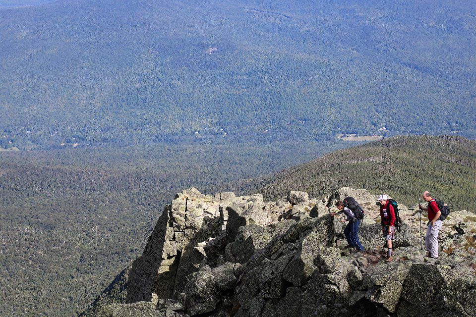
Day 2: Across southern peaks to Lakes of the Clouds Hut

Tim relaxing in his bunk before breakfast at Mizpah.
Mr. Tim relaxing in his bunk before breakfast at Mizpah.
Stephen in the Mizpah bunk room Sunday morning.


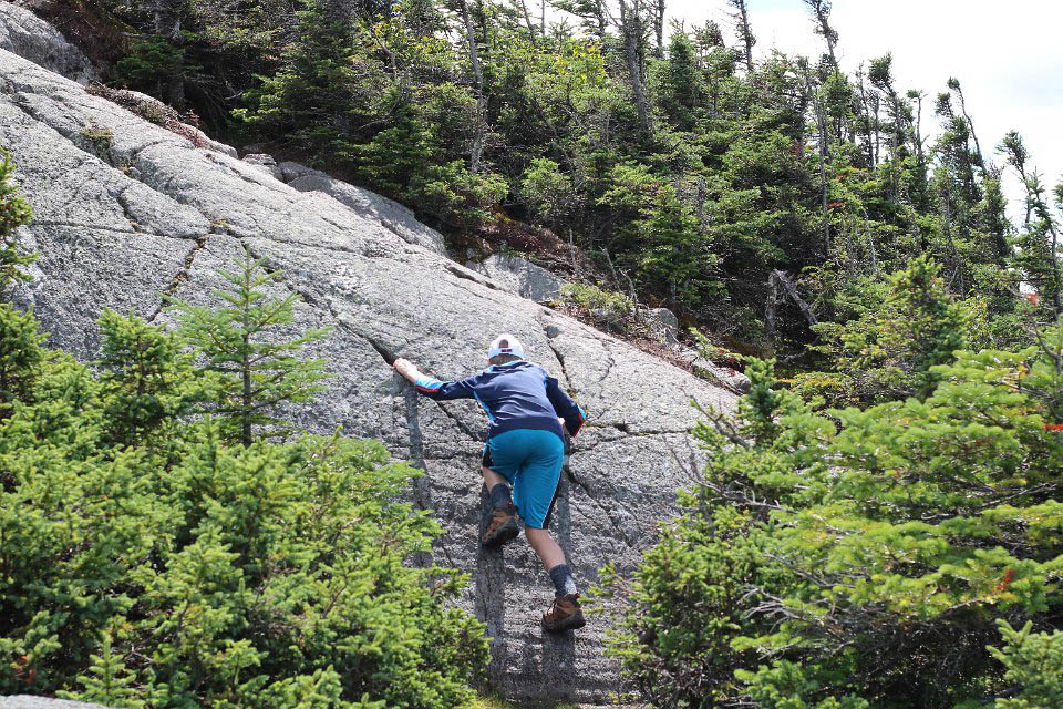
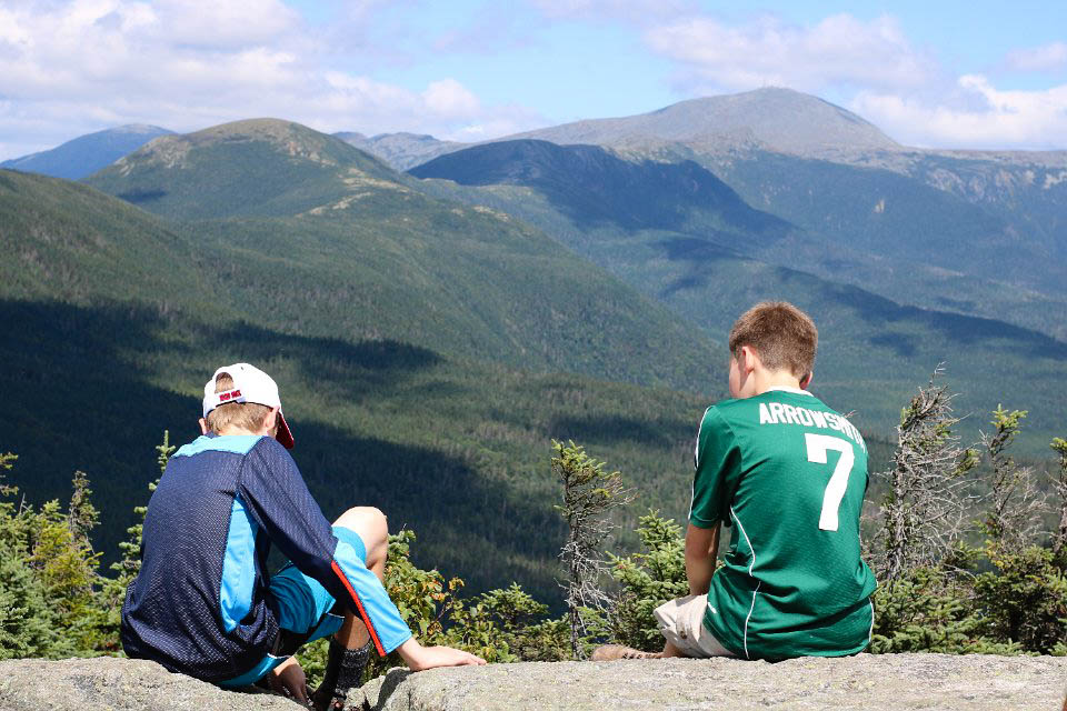
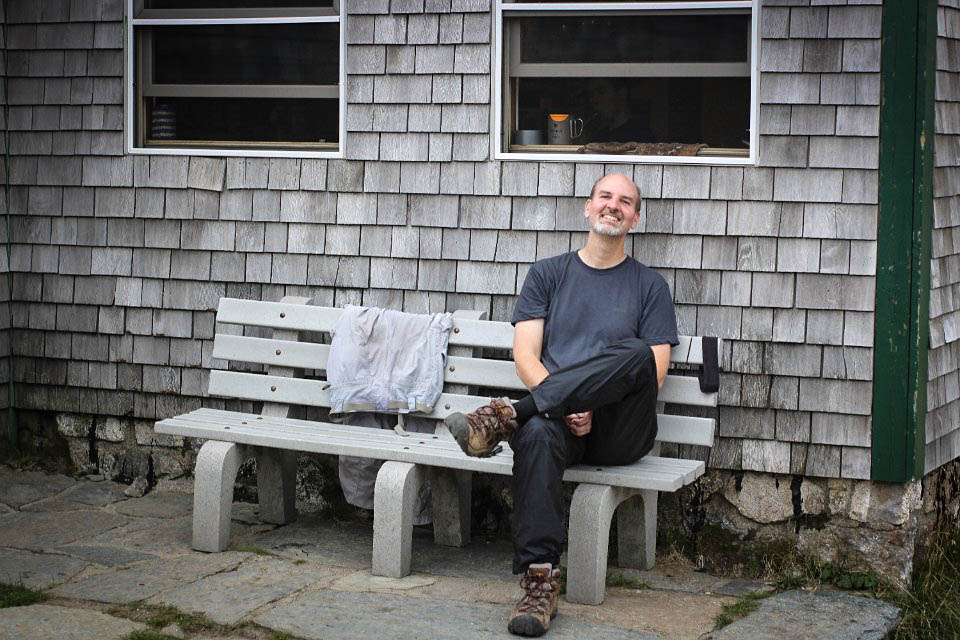
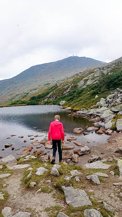
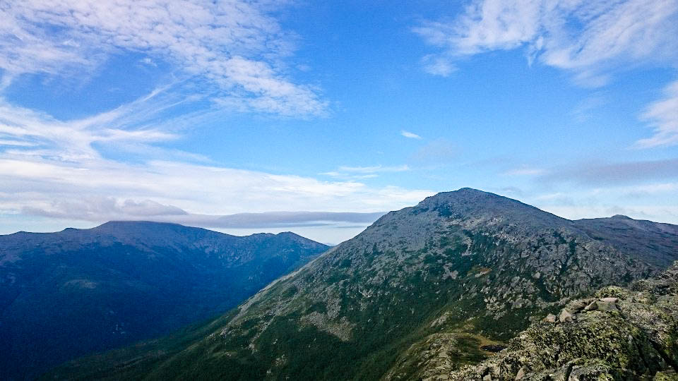
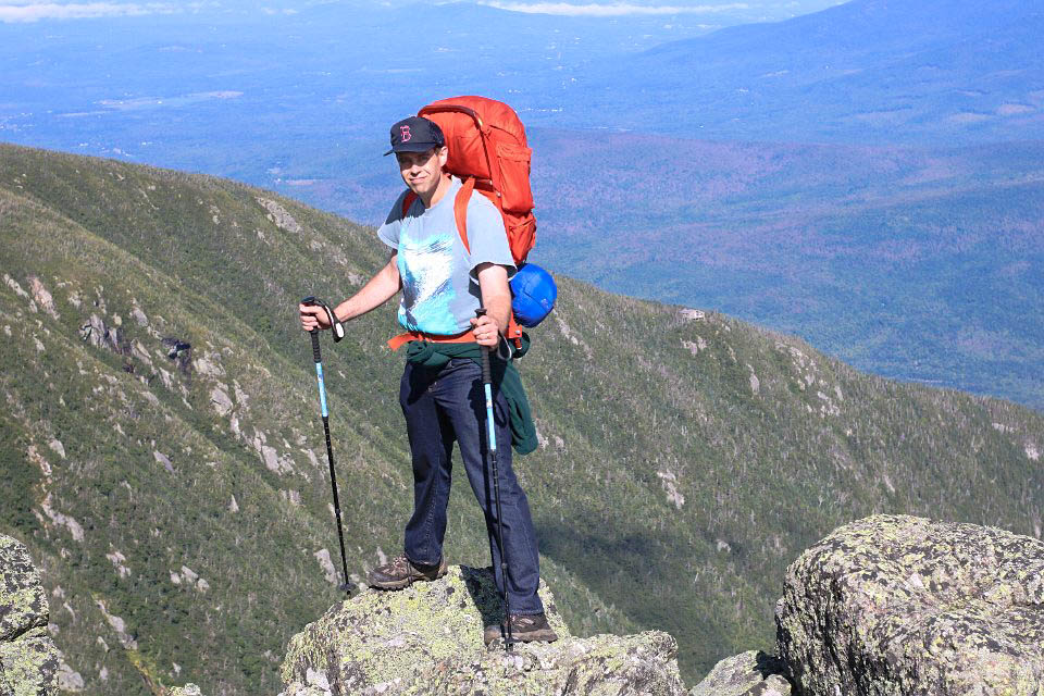
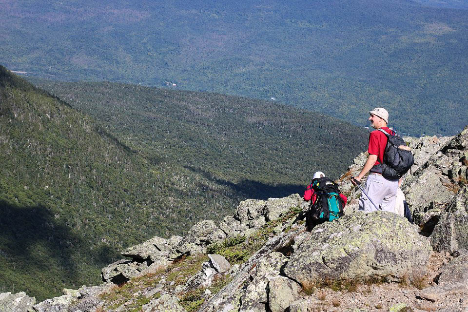
The next day we hiked 5 miles across the ridge (over Mt. Pierce, Mt. Eisenhower, and Mt. Monroe) to Lakes of the Clouds Hut, which is located between the peaks of Mt. Monroe and Mt. Washington. When we got to the slope of Monroe, we all decided to go around it so we could drop our packs at the hut and then scale to the summit without the extra weight.


On the summit of Mt. Pierce.
Heading across the ridge toward Eisenhower.
Scaling the side of Mt. Eisenhower.
On the peak of Eisenhower.
The view of the ridge from the summit of Eisenhower.
The view of the ridge from the summit of Eisenhower. The large mountain at the left is Mt. Washington. Monroe is the bump in front of Washington’s right shoulder.
Tim looking from the ridge down into the valley.


Tim at Lakes of the Clouds Hut.
Mr. Tim at Lakes of the Clouds Hut.


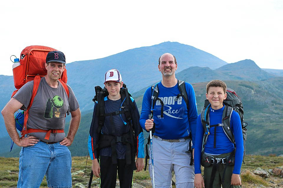
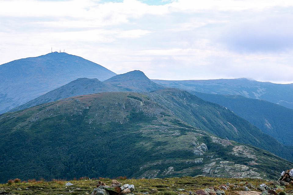
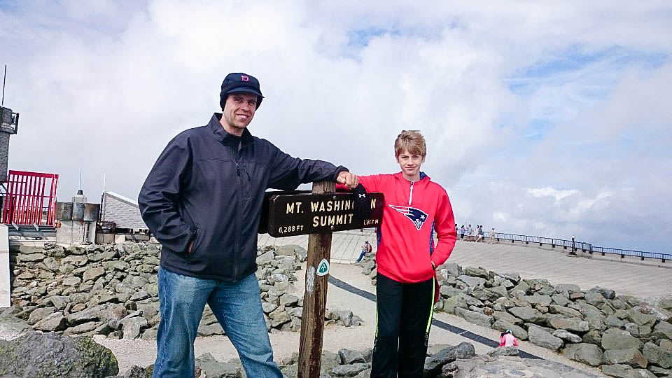
After we went up and down Mt. Monroe, we started on the 3 mile hike up and down Mt. Washington. We met my sister, Laurel, and her boyfriend, Dan, on the summit of Washington.


One of the lakes that Lakes of the Clouds Hut is named after. Washington looms in the distance.
Lakes of the Clouds Hut seen from the slope of Mt. Washington.
Tim and I at the peak of Mt. Washington.
Tim and me at the peak of Mt. Washington.


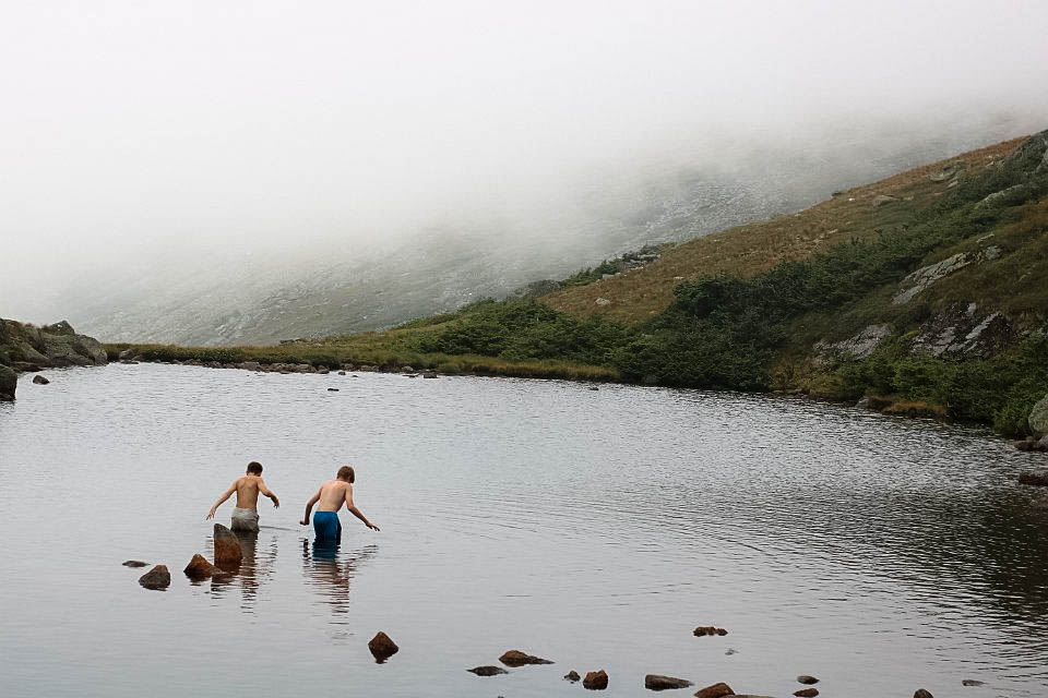
After the Mt. Washington hike, Tim and Stephen decided to go for a swim in one of the lakes near the hut.


Tim and Stephen swimming in a lake on a mountain.
Tim headed back to Lakes of the Clouds after his swim.


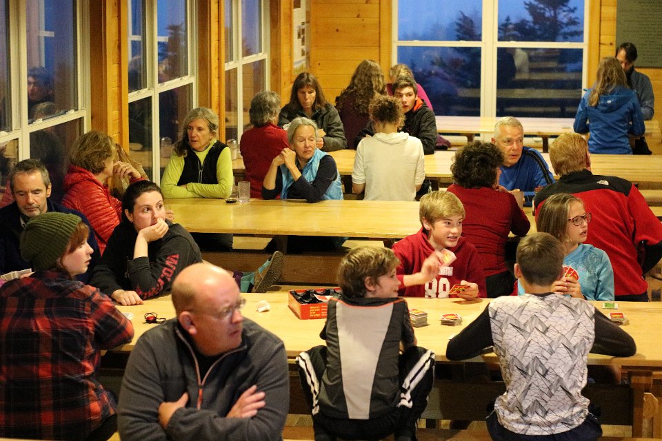
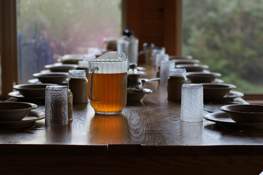
Laurel and Dan spent the night with us at Lakes of the Clouds Hut, and we celebrated Laurel’s birthday (August 28th) together at dinner.

Day 3: Across the northern peaks to Madison Spring Hut

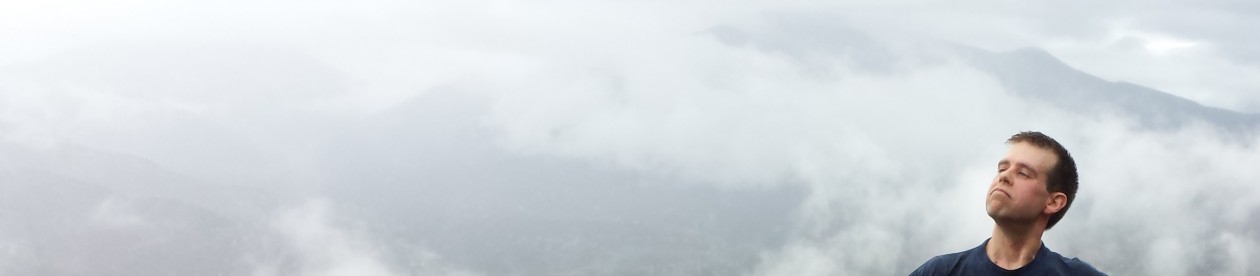
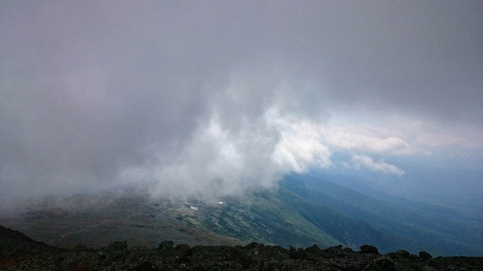
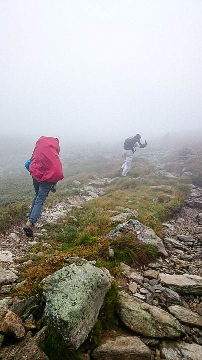
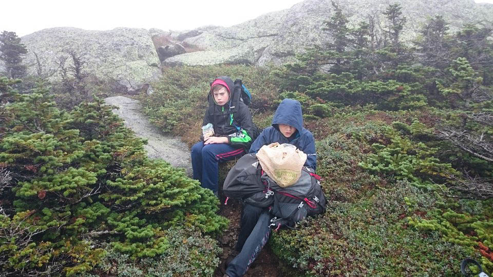
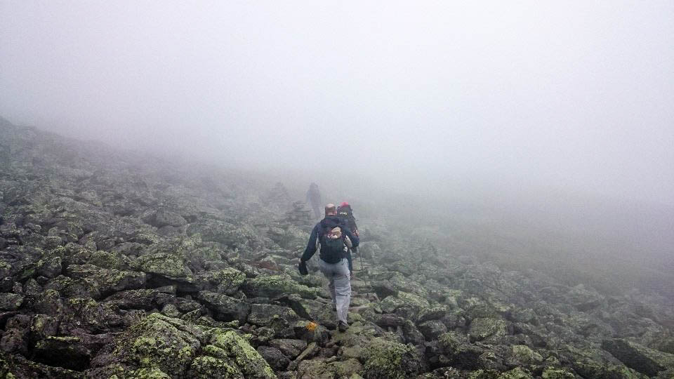
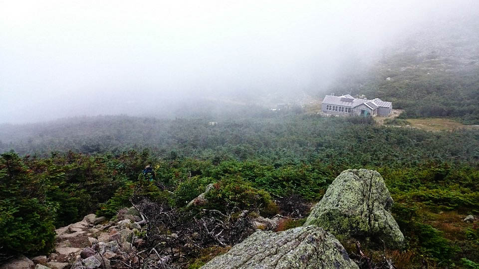
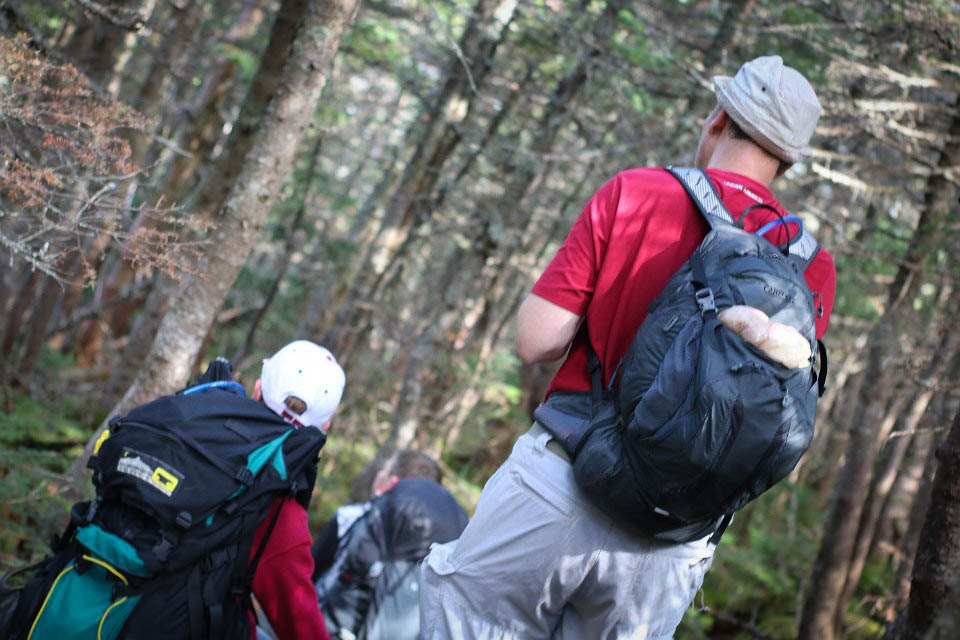
The weather on the third day took a turn for the (much) worse. We were told to expect fog and winds of 50-70 mph, with occasional rain and wind gusts up to 85 mph. This day, we hiked a little over 7 miles across the ridge to Madison Spring Hut.

There weren’t any views, and the wind and rain (combined with temperatures in the 40s) were pretty miserable, so we bypassed most of the northern peaks on this trek.

About to leave Lakes of the Clouds Hut on the 3rd day.


Hiking around Mt. Washington in the fog.
The cog railway tracks that go up the side of Mt. Washington.
A brief respite from the wind.
Hiking across one of many rock fields in the fog.
A rare break in the clouds reveals the welcome sight of Madison Spring Hut.
The sunset seen from the porch of Madison Spring Hut, after dinner.
Tim and Stephen playing cards with friends in the Lakes of the Clouds common room.
Tim and Stephen playing cards with friends in the Madison Spring common room.

Day 4: Down from Madison Spring Hut to the valley

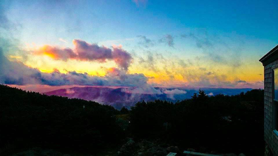
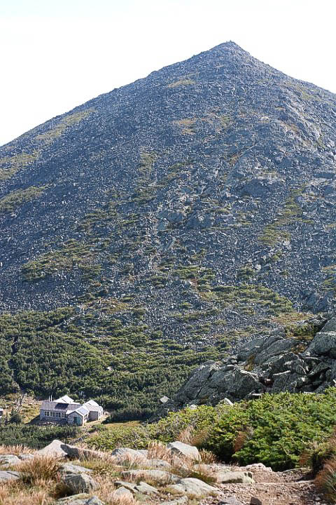
The morning of the 4th day, I woke early and hiked from Madison Spring Hut about a quarter of a mile up the side of Mt. Adams to get pictures of the sun rising over Mt. Madison.


The sunrise over Mt. Madison.
All setup for breakfast in Madison Spring Hut.
All set up for breakfast in Madison Spring Hut.


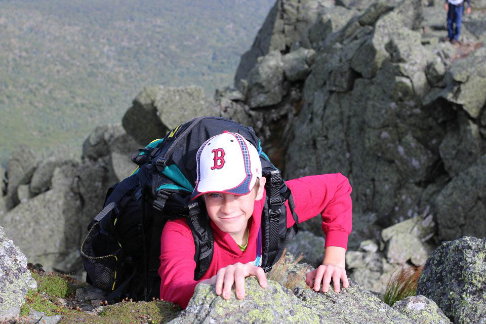
After breakfast, we hiked without packs 1 mile (round trip) from the hut to the peak of Mt. Madison and then back again. We then donned our gear and hiked about 4 miles down the Air Line Trail to the parking lot where Mr. Tim’s car was waiting for us. The weather was beautiful again, and the views were spectacular.


Mt. Washington (on the left) and Mt. Adams (right) from the summit of Mt. Madison.
Madison Spring Hut nestled on the side of Mt. Madison.
Tim hanging from a cliff on the Airline Trail.
Tim hanging from a cliff on the Air Line Trail.
Hiking down the Air Line Trail.
Standing on the edge of the world.
More hiking down the Air Line Trail.
Before long, we were back below tree line for the first time in 3 days.
Tim squished into the back seat of Mr. Tim's car.
Tim squished into the back seat of Mr. Tim’s car.


– danBhentschel

One thought on “2016 White Mountain Presidential Range traverse”

Leave a Reply to Donna Baker on Facebook Cancel reply

Your email address will not be published. Required fields are marked *

This site uses Akismet to reduce spam. Learn how your comment data is processed.